


GIS analysis by Maia Wachtel, Marcea Ennamorato and Brittany Burson / UC Berkeley CAGE Lab for San Francisco Public Press.
GIS analysis by Maia Wachtel, Marcea Ennamorato and Brittany Burson / UC Berkeley CAGE Lab for San Francisco Public Press. Cleaned with mapshaper
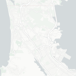
Footprint of each planned development inside the potential flood zone. GIS analysis by Maia Wachtel, Marcea Ennamorato and Brittany Burson / UC Berkeley CAGE Lab for San Francisco Public Press.
Special Report by SF Public Press / GIS analysis by Maia Wachtel, Marcea Ennamorato and Brittany Burson, UC Berkeley CAGE Lab / Research by Lulu Orozco