
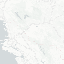


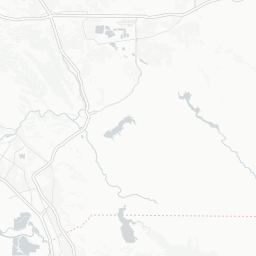


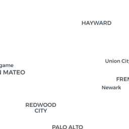

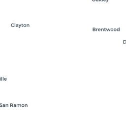

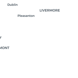

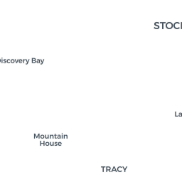


Footprint of each planned development inside the potential flood zone. GIS analysis by Maia Wachtel, Marcea Ennamorato and Brittany Burson / UC Berkeley CAGE Lab for San Francisco Public Press.
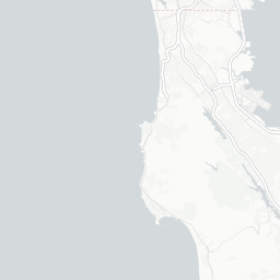
GIS analysis by Maia Wachtel, Marcea Ennamorato and Brittany Burson / UC Berkeley CAGE Lab for San Francisco Public Press.
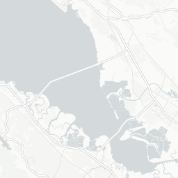
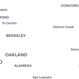
GIS analysis by Maia Wachtel, Marcea Ennamorato and Brittany Burson / UC Berkeley CAGE Lab for San Francisco Public Press. Cleaned with mapshaper
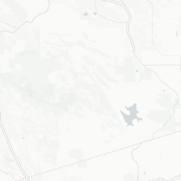
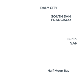
Sea Level Rise, points added manually. Data from SFPP Sea Level issue